
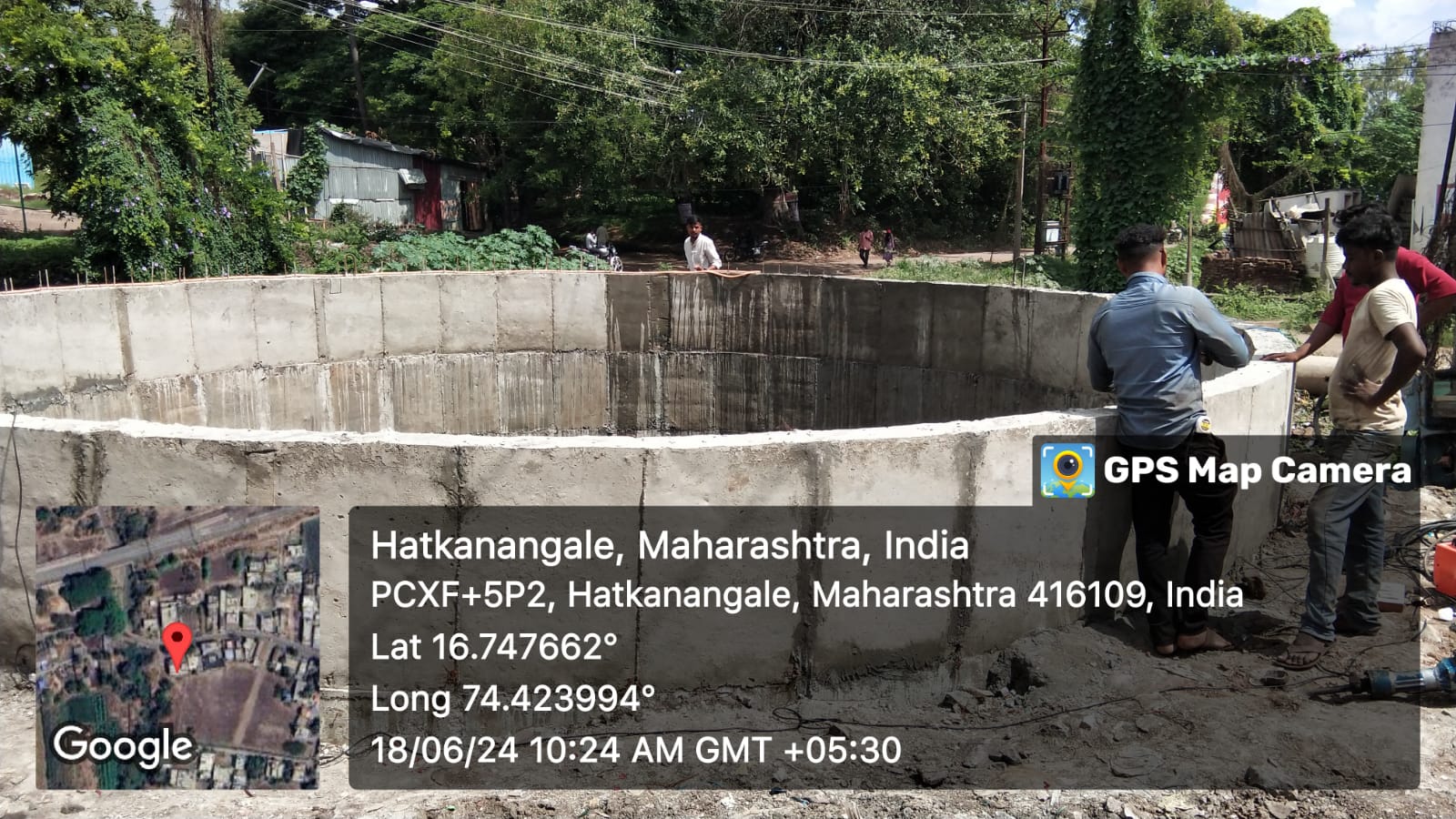
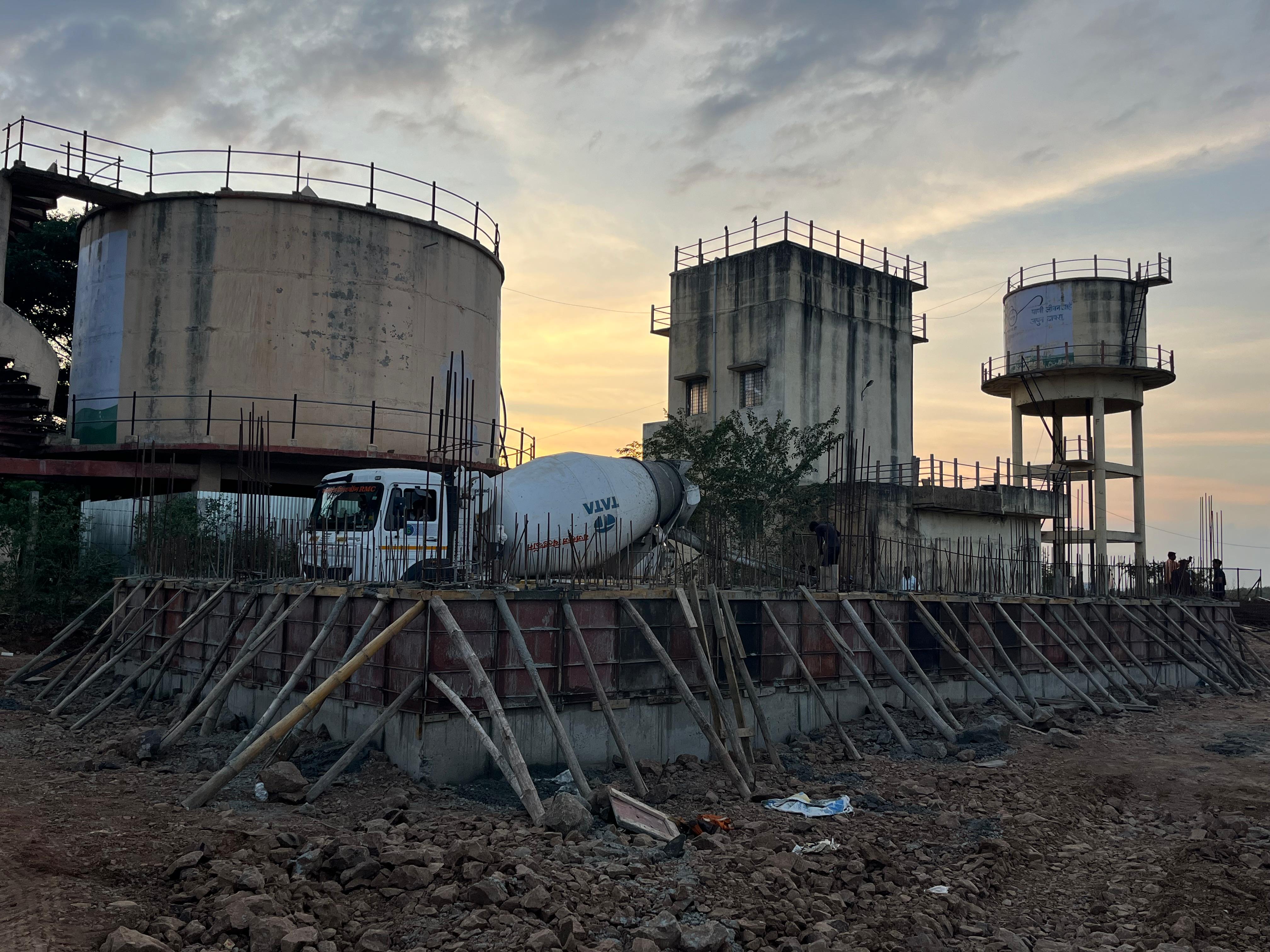
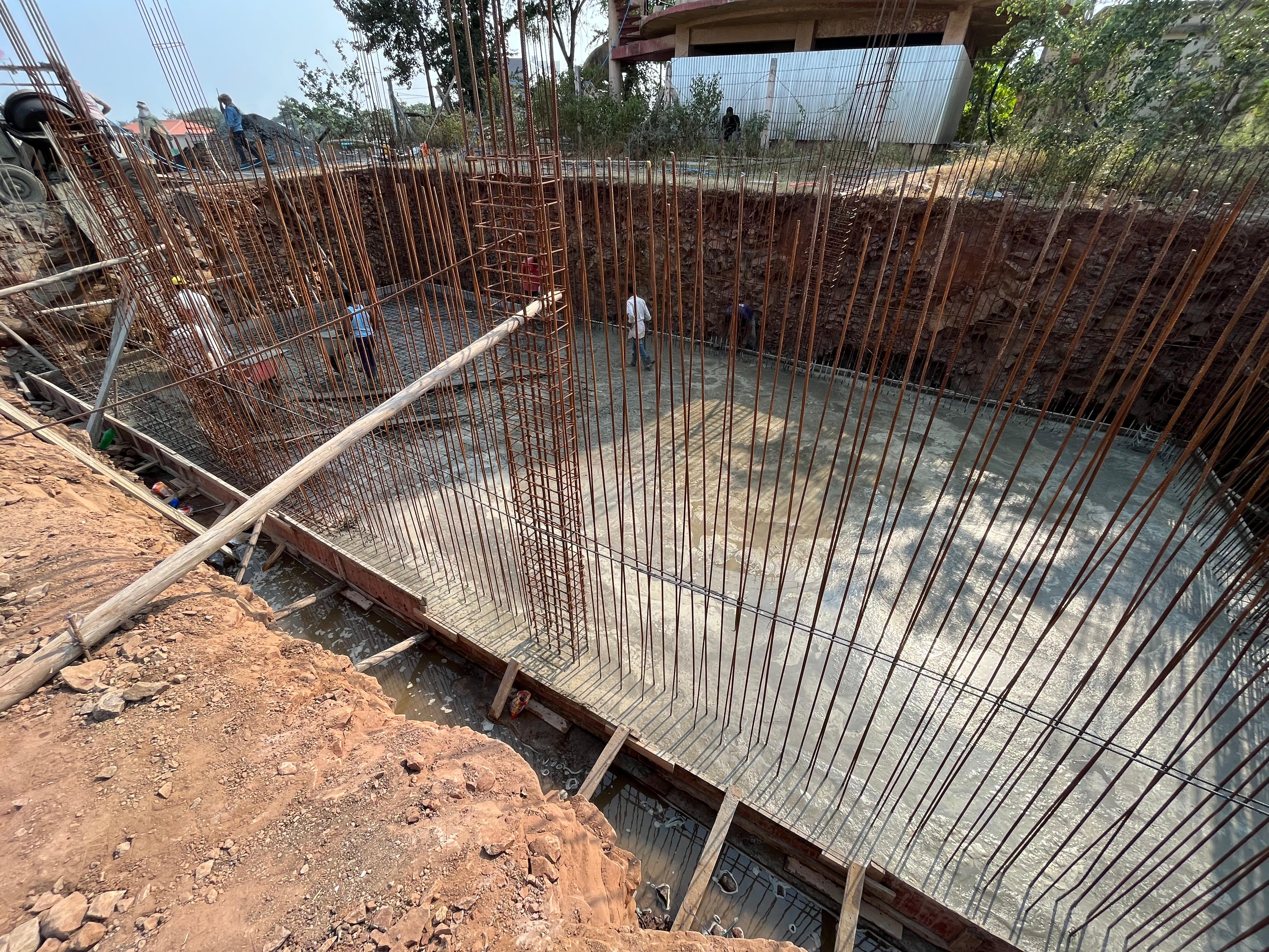
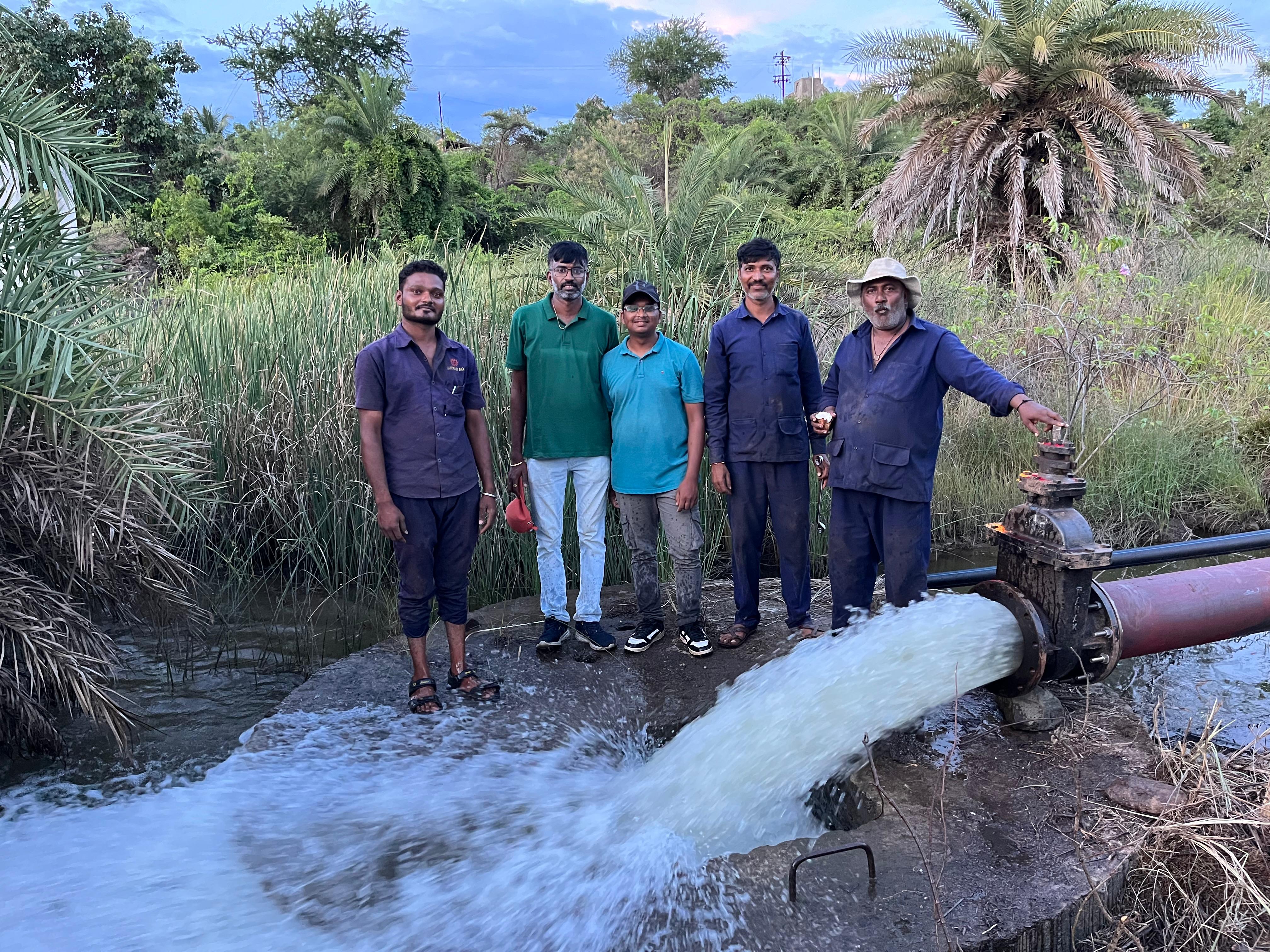
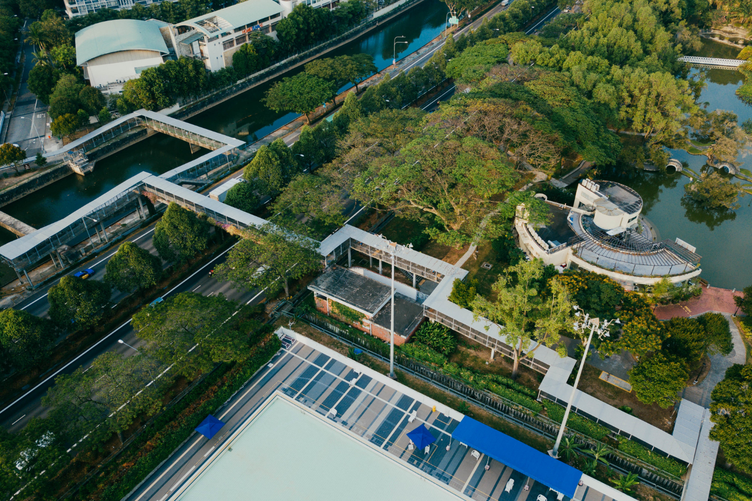
Our gallery offers a visual glimpse into the infrastructure we build across Maharashtra—from planning and execution to completion and commissioning. Each image represents more than a construction site; it reflects our engineering precision, safety standards, and on-ground execution capability.
📍 Nagpur Municipal Corporation
Comprehensive pipeline laying and distribution system for urban water supply
📍 Maharashtra Jeevan Pradhikaran
Large diameter pipeline installation with pressure testing and commissioning
📍 Wardha District
Village-level water distribution network ensuring safe drinking water access
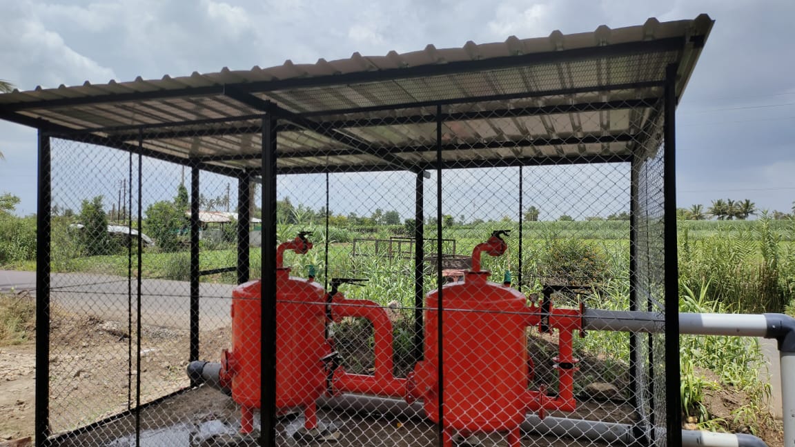
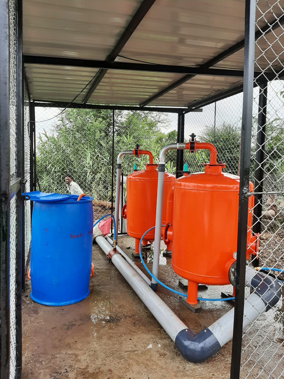
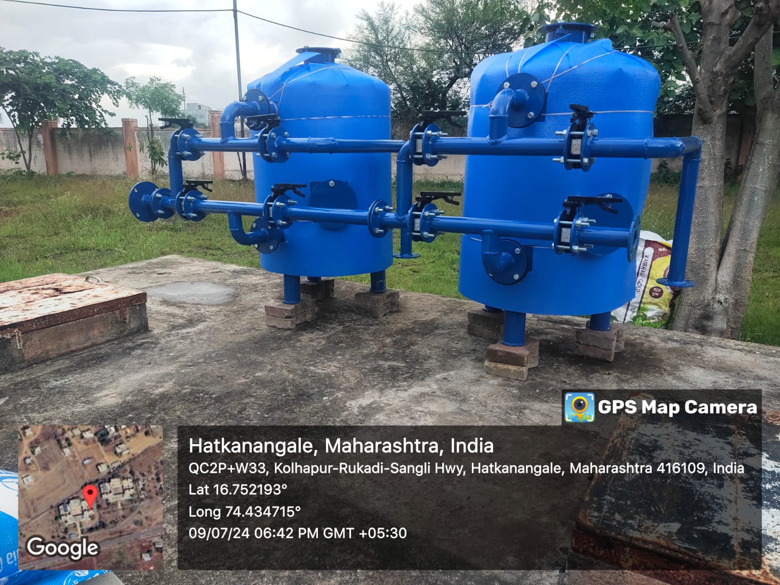
📍 Amravati Region
Installation of high-capacity pumps and mechanical systems for water transmission
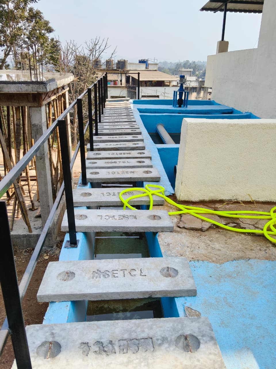
📍 Nagpur City
Underground sewer line installation with modern jointing techniques
📍 Yavatmal District
Civil and mechanical works for STP construction with environmental compliance
📍 Chandrapur Municipal Council
Comprehensive wastewater collection and treatment system
📍 Vidarbha Irrigation Development
Concrete lining works for improved water conservation and flow efficiency
📍 Bhandara District
Construction of check dams and water distribution systems for agriculture
📍 Akola Region
Field-level pipeline distribution for efficient agricultural water management
📍 Multiple Districts, Maharashtra
Comprehensive GPS-based field surveys and digital mapping of village infrastructure
📍 Water Resources Department
Satellite imagery analysis and ground verification for infrastructure planning
📍 Urban Development Authority
Creation of GIS databases for water supply and utility infrastructure
📍 Pipeline Alignment - Gondia
Detailed contour mapping and alignment survey for pipeline route selection
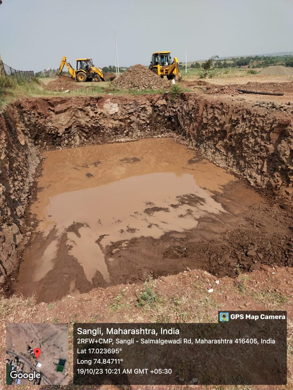
📍 Multiple Project Sites
Pre-execution site inspections and engineering planning activities
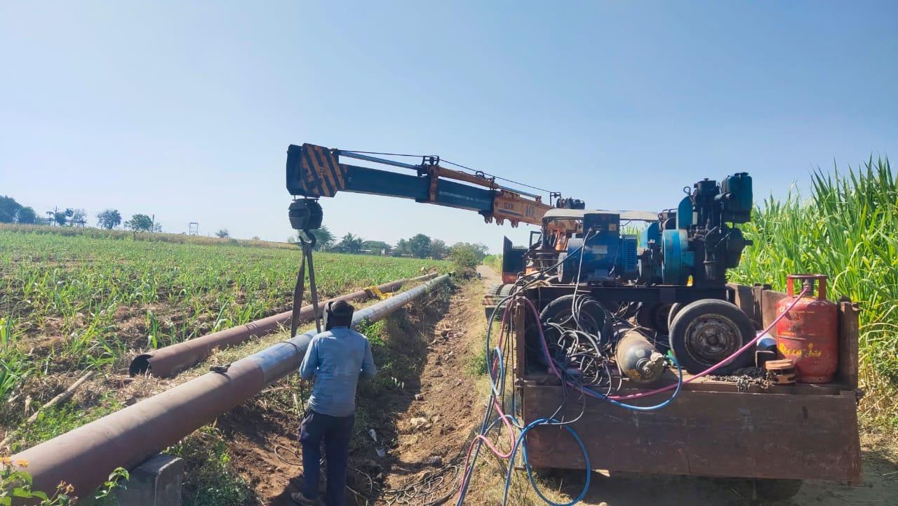
📍 Transmission Pipeline Project
High-precision GPS surveys for long-distance pipeline alignment
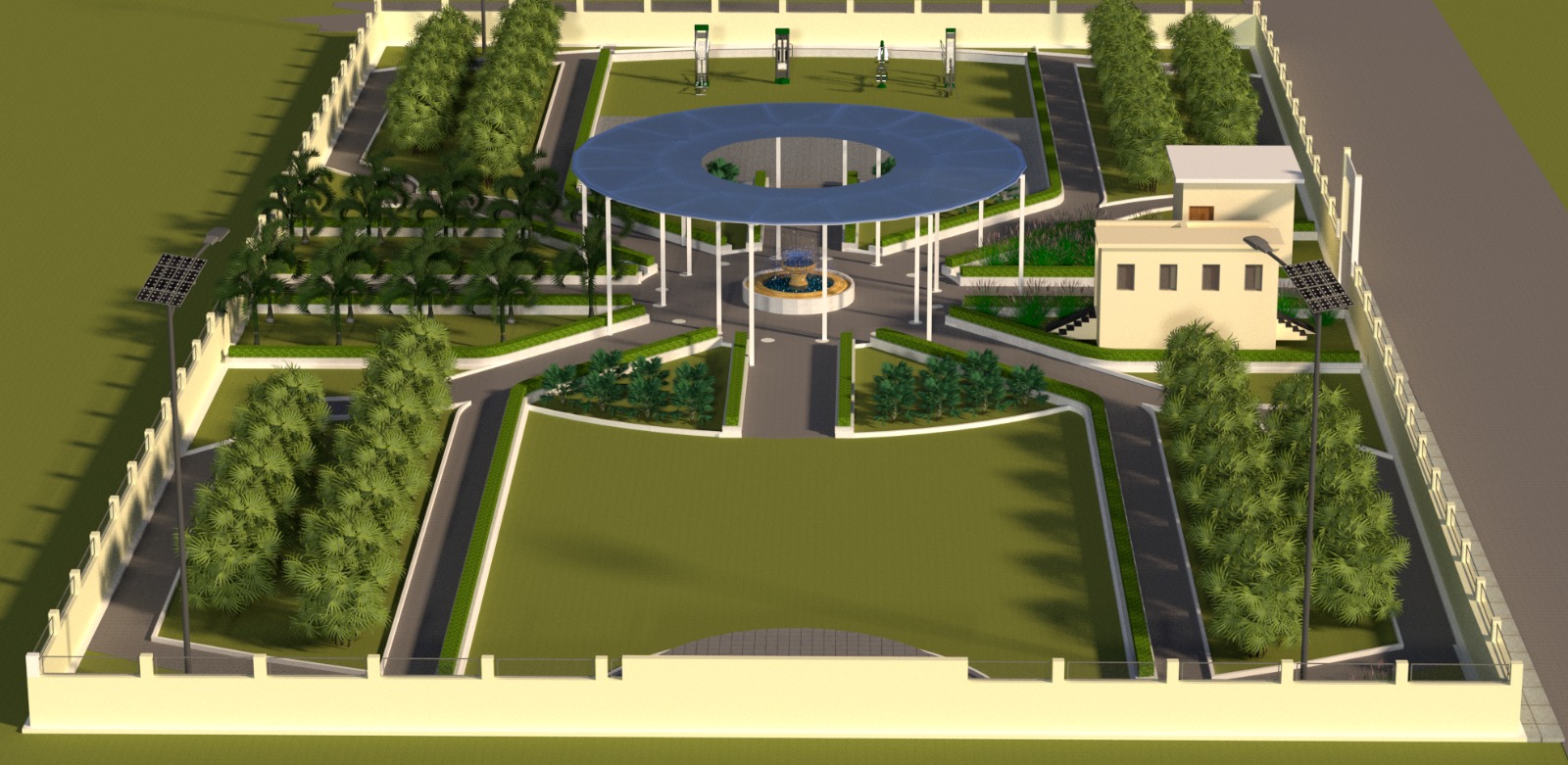
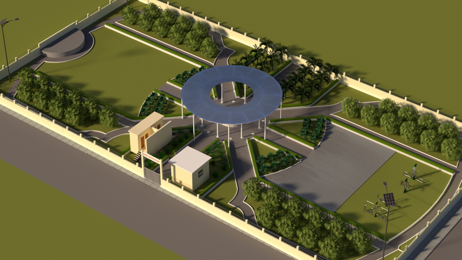
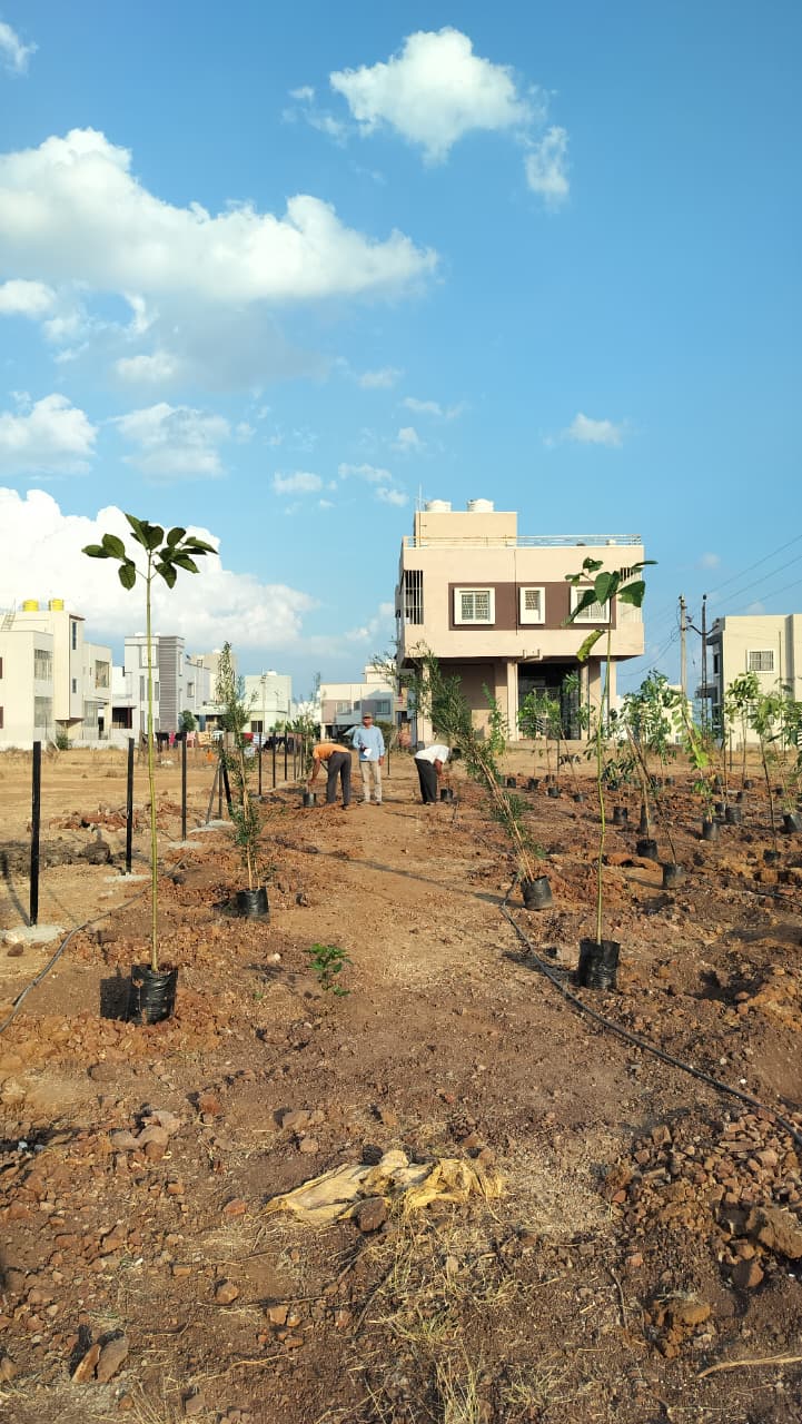
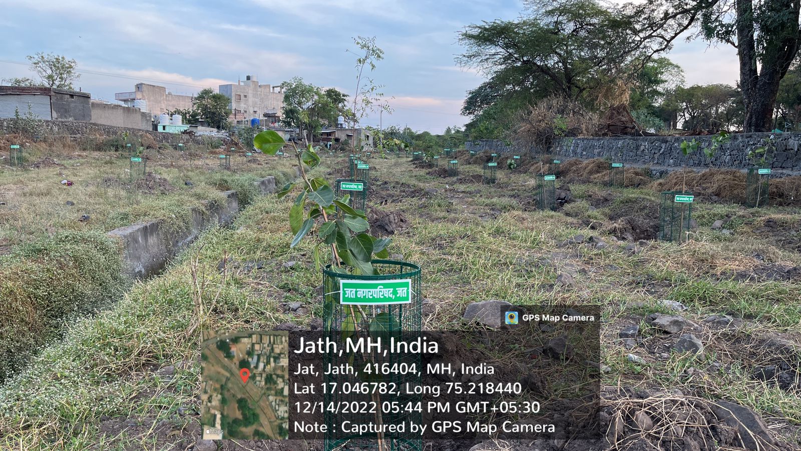
📍 Municipal Garden Project
Site-level landscaping with native plant species and sustainable design
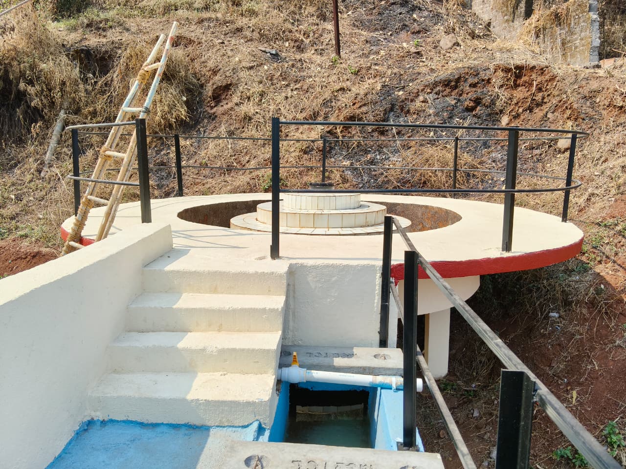
📍 Water Treatment Plant
Functional landscaping around utility infrastructure with aesthetic integration
📍 Reservoir Surroundings
Environmental landscaping for improved aesthetics and erosion control
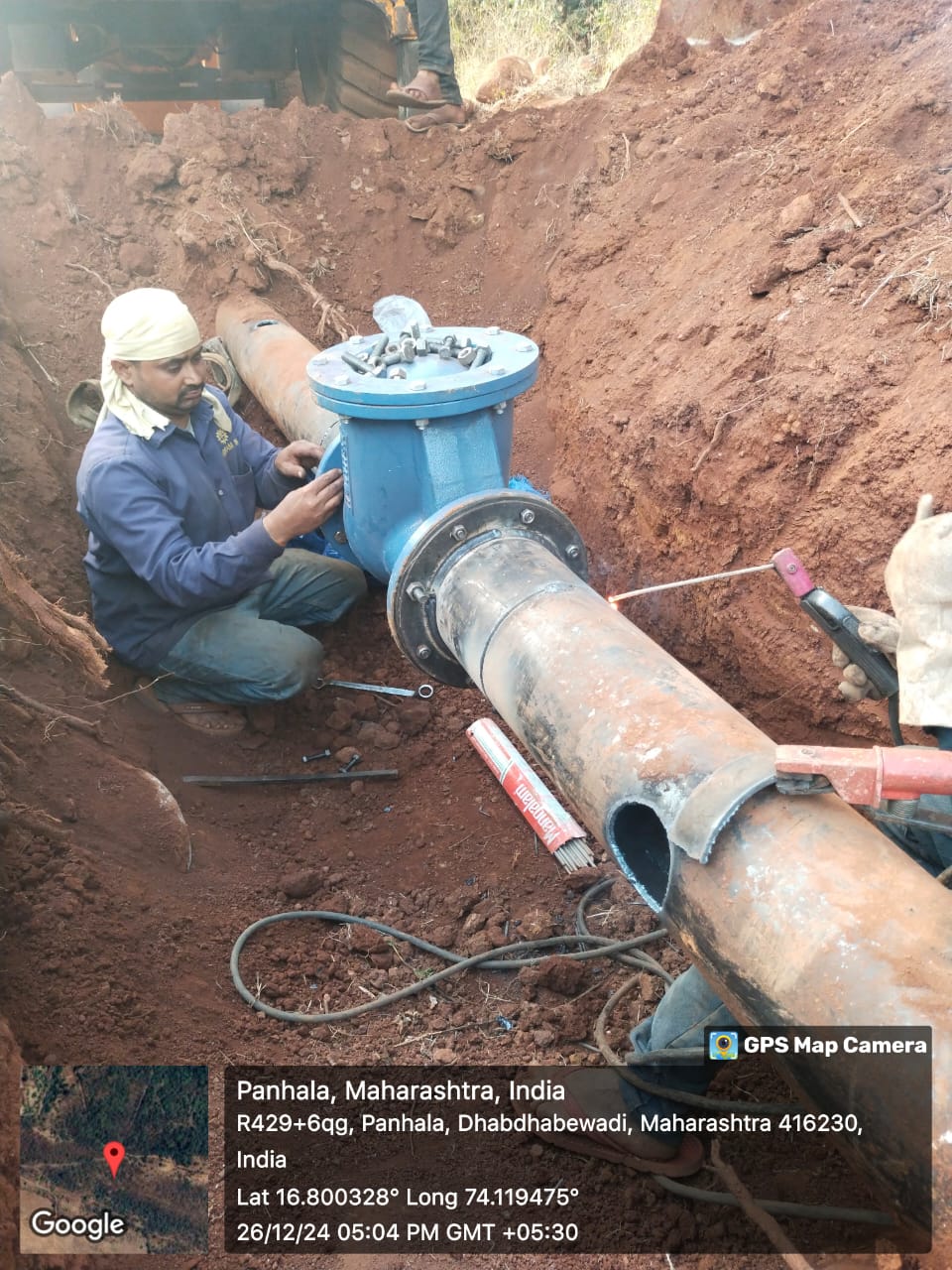
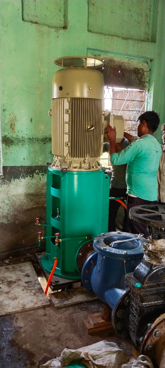
📍 Boosting Station Project
Installation of high-capacity centrifugal pumps with piping systems
📍 Distribution Network
Mechanical assembly of control valves and flow regulation systems
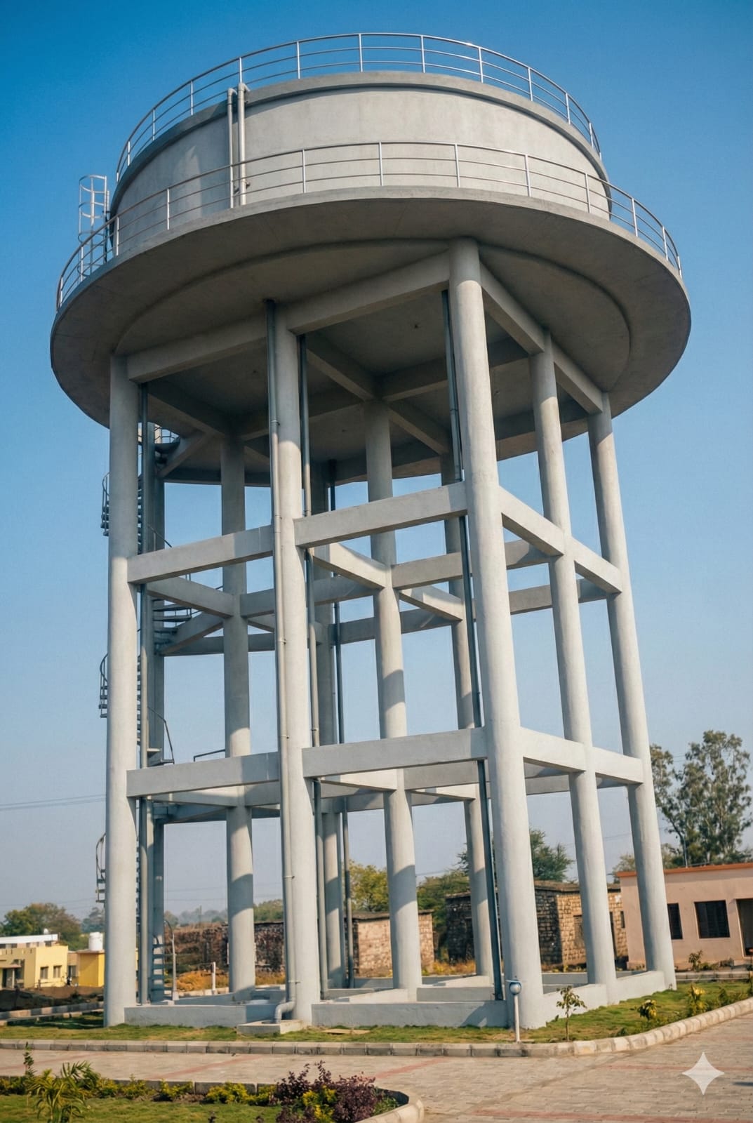
📍 Water Supply Scheme
Testing, alignment, and commissioning of mechanical systems
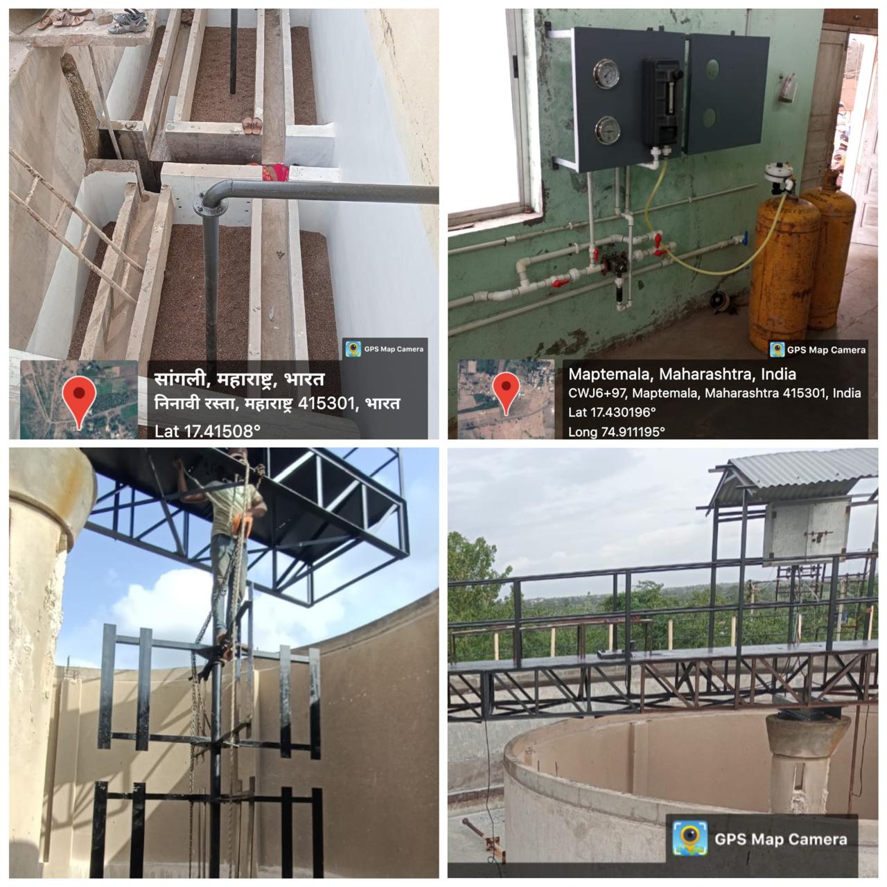
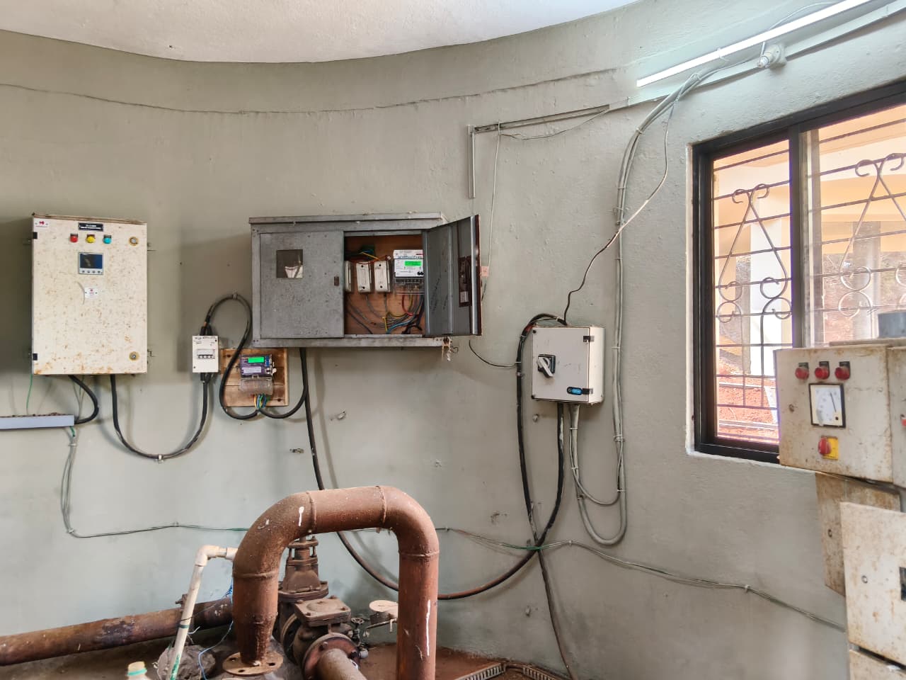
📍 Pumping Station
Electrical panel setup with automated control systems
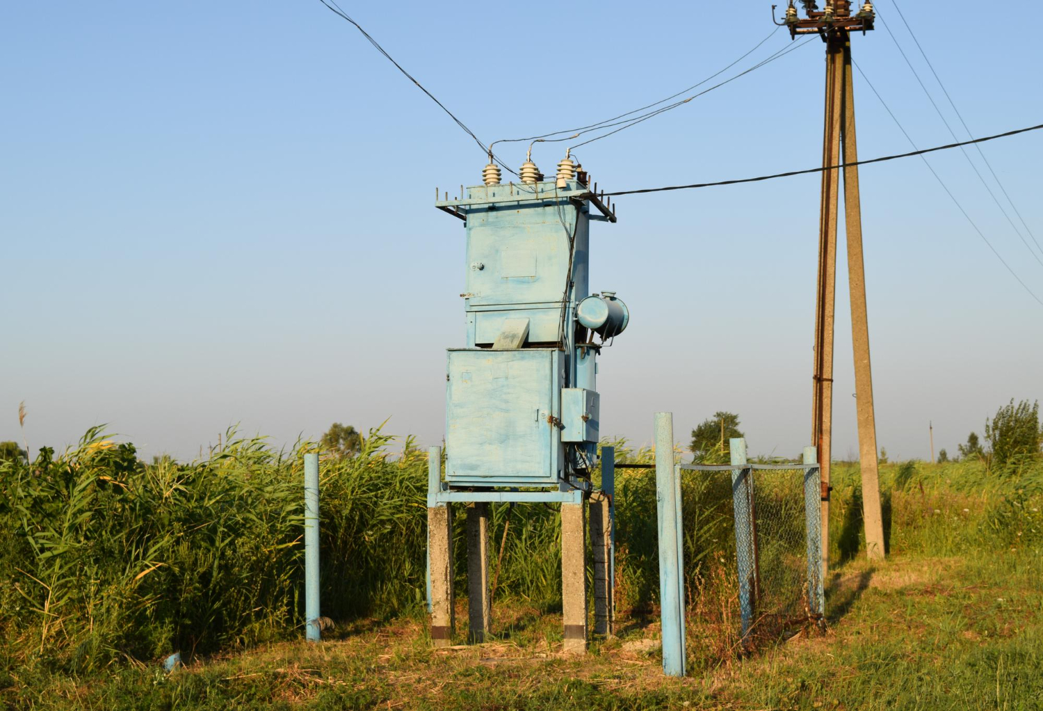
📍 Treatment Plant Complex
Complete site electrification with HT and LT power distribution
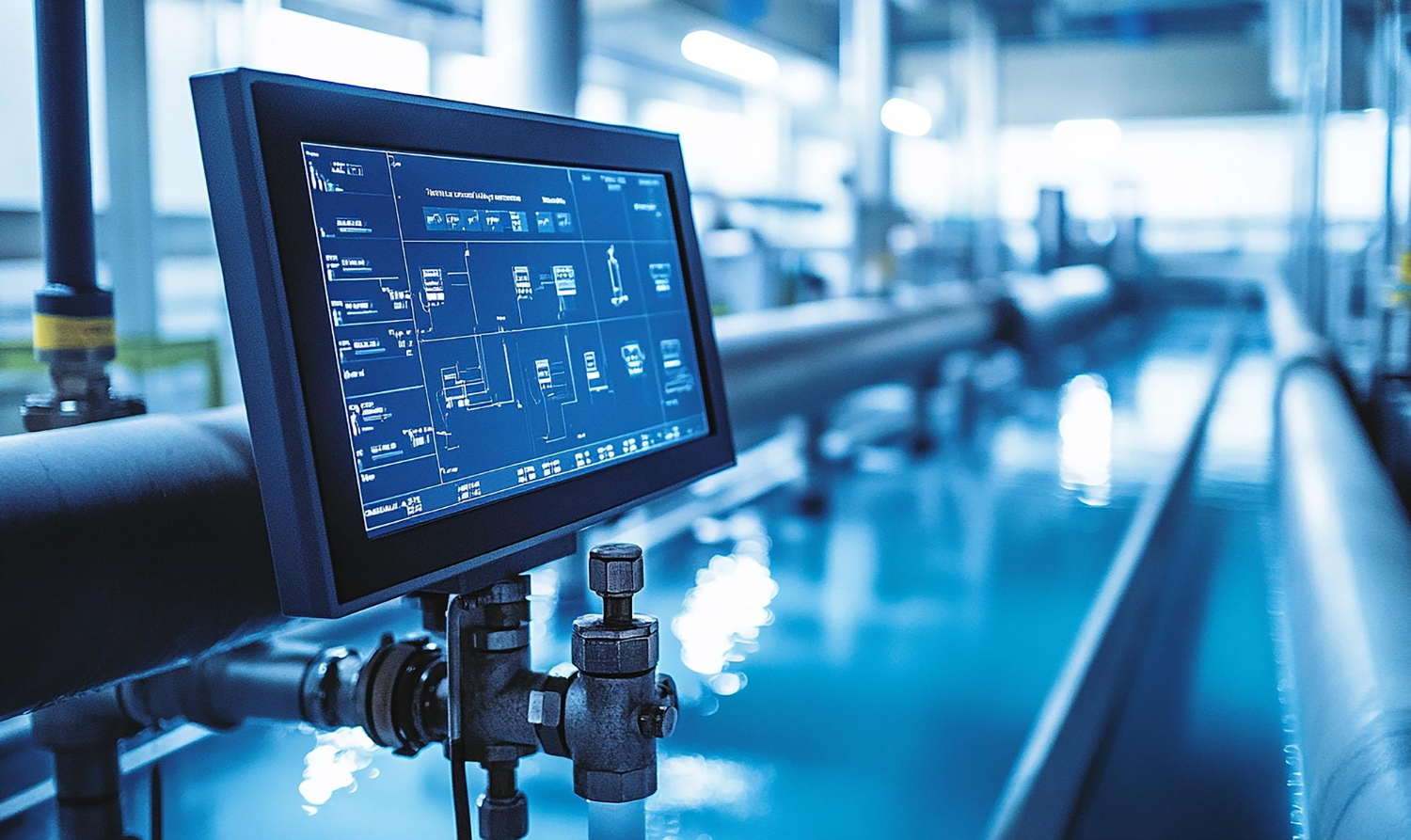
📍 Water Supply Monitoring
Installation of electrical systems for remote monitoring and control
📍 City Infrastructure Database
GPS-based mapping of water supply and sewerage networks
📍 Multiple Zones
Ground verification and validation of spatial infrastructure data
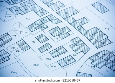
📍 Land Acquisition Survey
Precise mapping of land parcels and property boundaries for projects
Whether it's water supply pipelines, irrigation systems, wastewater infrastructure, or GIS field surveys, our work is driven by purpose and performance. Every project contributes to environmental protection, agricultural productivity, and improved quality of life across Maharashtra.